The Town Landing

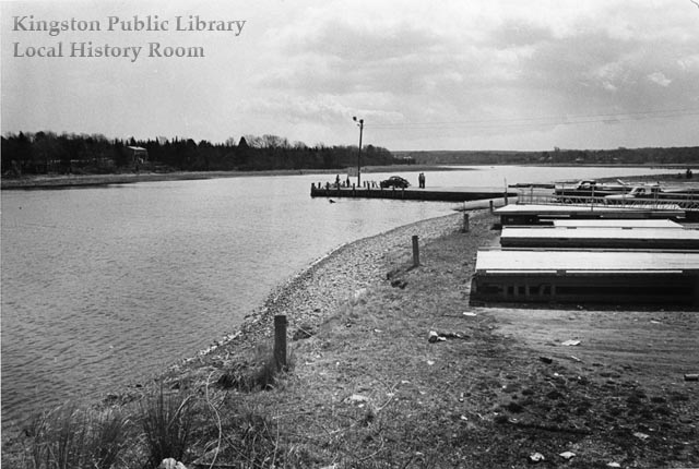
Town Landing looking south, 1975

Lying at the foot of River Street, the Town Landing provides access for boaters to the Jones River, as well as a lovely place to sit and watch the water flow into Kingston Bay.  These two photos were taken by Ted Avery in April 1975.

Forty years earlier, this was the site of one of Kingston’s Emergency Relief Administration (E.R.A.) projects. Between April and August 1935,

The old wharf was raised 18″ and extended 25′ out into the Jones River, 90 cu. yds. of stone was laid and pointed, 28 piles were set and held in place with iron straps, a cement cap 18″ wide 1′ thick reinforced with iron rails using 40 bags of cement was put on top of the extention [sic], 105 cu. yds. of stone was used, 300 cu. yds. of gravel for filling, also 100 cu. yds. of mud was excavated from river and used for filling.

Edgar W. Loring donated the stone, while Dr. Arthur B. Holmes contributed the pilings.  When complete, the entire project cost $3191.04.  Asked in the final engineering report how the public benefited from the project,  George P. Holmes, the Town’s E.R.A. Administrator, replied “This wharf at present is the only public landing place for fishermen and yachtsmen in Kingston and the extension to low water mark is greatly appreciated by same.”
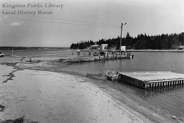
Town landing looking north, 1975

More recently, in 1997 the Massachusetts Office of Coastal Zone Management gave $32,000 in Seaport Bond funds to the town, allowing the Waterfront Committee to replace older wooden floating docks (visible in both photos) with 20 modular aluminum versions. In 1999, Chris Tura completed his Eagle Scout project by dedicating the “Independence Memorial Park” at the Town Landing, complete with a historical marker, granite curbing and refinished picnic tables and benches.

Sources: Town House Attic II papers; Town Annual Reports; Vertical File: Independence Park.
New exhibit: Vital Records

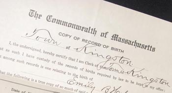
Certified copy of birth certificate, 1931

Vital records are the most basic paperwork of human life, the tangible evidence of the three most important events: birth, death and marriage. In Massachusetts, these events have been registered at the local level since 1635 and formally collected by the state since 1841.  On display this month are a few examples of the forms that vital records take.  Stop by and take a look.

The Old Bay Path

The Old Bay Path
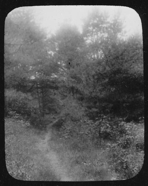
Well before the Pilgrims landed, the Native Americans of southeastern Massachusetts had an extensive network of  well-worn trails, among them the Old Bay Path shown in these two lantern slides.  By 1637, the colonists had adopted the Bay Path as the main highway through Kingston. Eventually the route became a  private road for the Bradfords, then  reverted back to a foot path between Stony Brook village (today’s Summer Street neighborhood) and the settlement at Island Creek once the Boston Road (now  Summer Street, or Route 3A) was laid out in 1708.

The Old Bay Path, ca. 1900

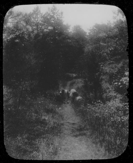
Around 1900, the fields through which the path ran were purchased by private interests, the trees and bushes  cut down,  and a sand pit opened nearby;  soon just a vestige of the old path remained.  The lantern slide below shows the handsome Old Shiloh on the path.  Old Shiloh lived with his mistress Miss Charlotte Cutts on Brewster Road; the path ran close to their home, from the Stony Brook schoolhouse to Miramar.

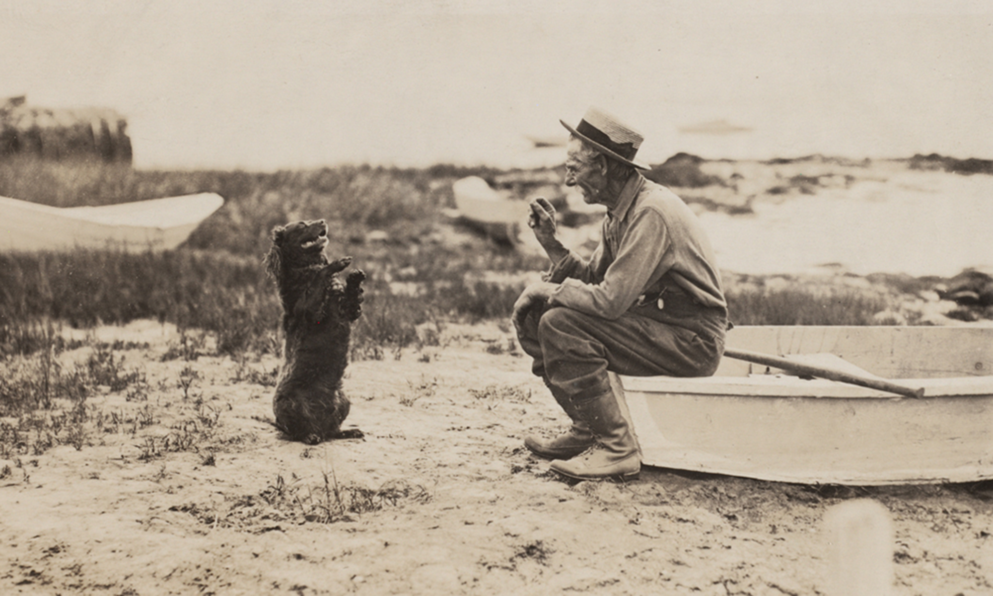
Old Shiloh on the Old Bay Path, ca. 1900

Although the Bay Path connected first the numerous Native American villages, then many of today’s South Shore towns, it began in our town, specifically in what was once the village of the Patuxet, near the present Kingston/Plymouth line. From that point, the path divided, with  one branch following today’s Main and Crescent Streets  and another going along the shore of Rocky Nook via the present Howland’s Lane  to the Jones River.  Here the water level determined the method of crossing:  stepping stones at low tide or skin boat at high tide.  As late as 1900, evidence of this branch of the trail was still visible, crossing the Jones River between the Poorhouse and the boat houses on Landing Road , continuing past the Bailey Playground tennis courts  and across the ballfields —  once a low, wet area now filled in — up the hill to Summer Street , then over to Maple Street, left  at Bradford Road, onto Foster’s Lane  and finally along  Brewster Road.  Other paths intersected the Bay Path here, continuing on to Island Creek and other communities.  The Bay Path itself continued  along Tarkiln Road into Duxbury near the Tree of Knowledge , running past the Twin Schoolhouse and  north to other  villages.

Little did those Patuxet realize that many years later we would still be using parts of their well worn trail, and even less, perhaps, do today’s travellers realize just how old the roads they follow actually are.

Source: Emily Fuller Drew Manuscript Collection  MC- 16 2.1  Early Roads and Trails.

New Exhibit: Ichabod Washburn Benevolent Fund

Motto and seal from Washburn's autobiography, ca. 1870
Motto and seal from Washburn’s autobiography, ca. 1870

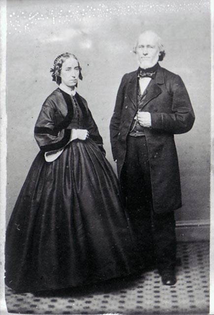
The Ichabod Washburn Benevolent Fund was established over 130 years ago through a bequest to the Town of Kingston. Washburn, who was born and raised in Kingston, made his fortune as a wire manufacturer in Worcester but never forgot his hometown or the struggles of his mother, who raised her family alone after the death of her husband. In 1869, Washburn’s will left $10,000 to the Town for the creation of a fund from which interest would be distributed to “widows and maiden ladies of good character and reputation.” Original account books, receipts and other records of the Fund are now on display in the Local History Room exhibit case.

Ichabod Washburn and wife, no date