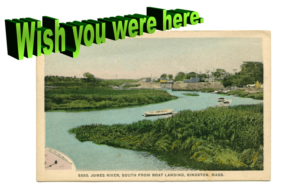
The exhibit for April in the Local History display case is a selection of early 20th century color postcards showing Kingston buildings and places.
Stop by and take a look!

Kingston (Massachusetts) Public Library

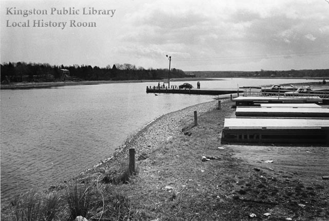
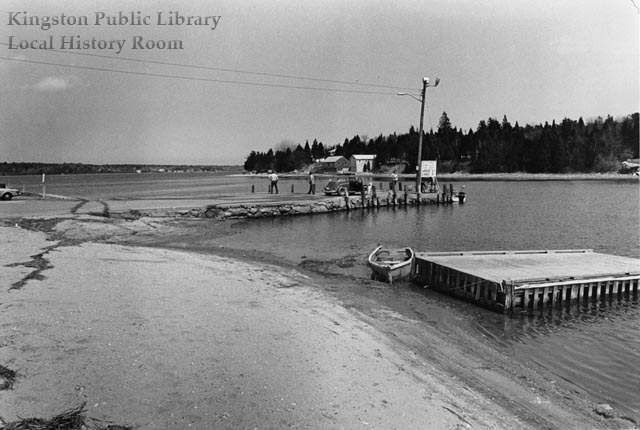
Lying at the foot of River Street, the Town Landing provides access for boaters to the Jones River, as well as a lovely place to sit and watch the water flow into Kingston Bay. These two photos were taken by Ted Avery in April 1975.
Forty years earlier, this was the site of one of Kingston’s Emergency Relief Administration (E.R.A.) projects. Between April and August 1935,
The old wharf was raised 18″ and extended 25′ out into the Jones River, 90 cu. yds. of stone was laid and pointed, 28 piles were set and held in place with iron straps, a cement cap 18″ wide 1′ thick reinforced with iron rails using 40 bags of cement was put on top of the extention [sic], 105 cu. yds. of stone was used, 300 cu. yds. of gravel for filling, also 100 cu. yds. of mud was excavated from river and used for filling.
Edgar W. Loring donated the stone, while Dr. Arthur B. Holmes contributed the pilings. When complete, the entire project cost $3191.04. Asked in the final engineering report how the public benefited from the project, George P. Holmes, the Town’s E.R.A. Administrator, replied “This wharf at present is the only public landing place for fishermen and yachtsmen in Kingston and the extension to low water mark is greatly appreciated by same.”

More recently, in 1997 the Massachusetts Office of Coastal Zone Management gave $32,000 in Seaport Bond funds to the town, allowing the Waterfront Committee to replace older wooden floating docks (visible in both photos) with 20 modular aluminum versions. In 1999, Chris Tura completed his Eagle Scout project by dedicating the “Independence Memorial Park” at the Town Landing, complete with a historical marker, granite curbing and refinished picnic tables and benches.
Sources: Town House Attic II papers; Town Annual Reports; Vertical File: Independence Park.
Emily Fuller Drew took this photograph “expressly for the booklet” The Story of Jones River, which she and Sara Y. Bailey completed in 1920. The original caption reads “Flat House Dock. The home of Joseph Bradford, youngest son of the Governor. It is said that the name was given because of the flat roof of Mr. Bradford’s warehouse at the wharf.”
The area, known as the “Short Reach,” was also the site of a lumber yard, probably supplying timber for ship builders. Facing north, Emily shot this image standing near the spot where today Route 3 crosses the Old Colony Railroad tracks, seen in the foreground. In the background left, Captain Joyce’s stone house at 5 River Street is visible, with the Bay Farm at right in the far distance. The Jones River takes a reverse S-curve here.
It is one of my favorite landscapes.