The Old Bay Path
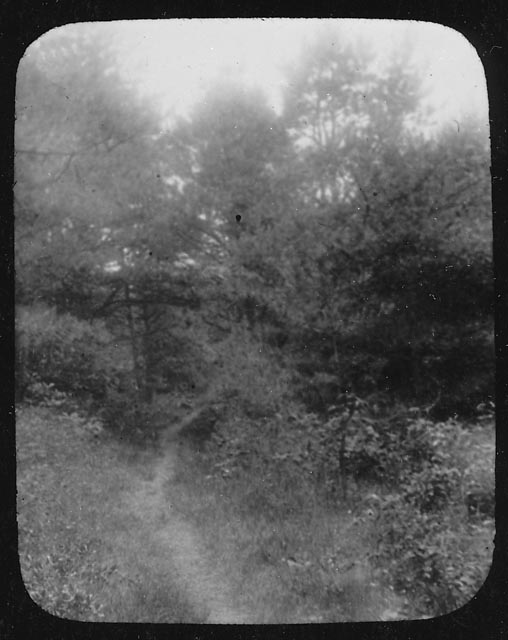
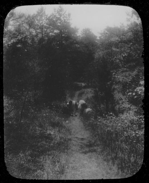
Well before the Pilgrims landed, the Native Americans of southeastern Massachusetts had an extensive network of well-worn trails, among them the Old Bay Path shown in these two lantern slides. By 1637, the colonists had adopted the Bay Path as the main highway through Kingston. Eventually the route became a private road for the Bradfords, then reverted back to a foot path between Stony Brook village (today’s Summer Street neighborhood) and the settlement at Island Creek once the Boston Road (now Summer Street, or Route 3A) was laid out in 1708.

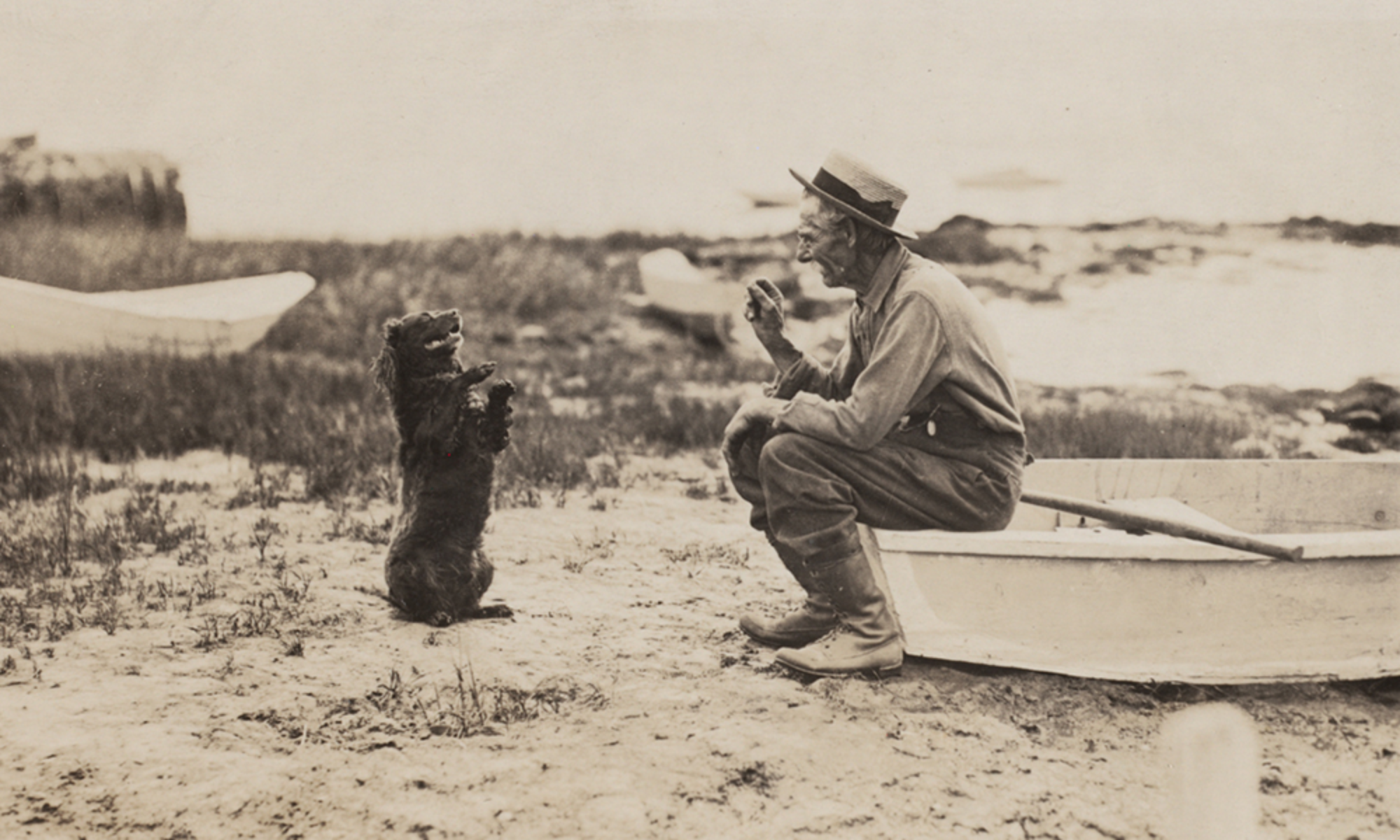
Around 1900, the fields through which the path ran were purchased by private interests, the trees and bushes cut down, and a sand pit opened nearby; soon just a vestige of the old path remained. The lantern slide below shows the handsome Old Shiloh on the path. Old Shiloh lived with his mistress Miss Charlotte Cutts on Brewster Road; the path ran close to their home, from the Stony Brook schoolhouse to Miramar.

Although the Bay Path connected first the numerous Native American villages, then many of today’s South Shore towns, it began in our town, specifically in what was once the village of the Patuxet, near the present Kingston/Plymouth line. From that point, the path divided, with one branch following today’s Main and Crescent Streets and another going along the shore of Rocky Nook via the present Howland’s Lane to the Jones River. Here the water level determined the method of crossing: stepping stones at low tide or skin boat at high tide. As late as 1900, evidence of this branch of the trail was still visible, crossing the Jones River between the Poorhouse and the boat houses on Landing Road , continuing past the Bailey Playground tennis courts and across the ballfields — once a low, wet area now filled in — up the hill to Summer Street , then over to Maple Street, left at Bradford Road, onto Foster’s Lane and finally along Brewster Road. Other paths intersected the Bay Path here, continuing on to Island Creek and other communities. The Bay Path itself continued along Tarkiln Road into Duxbury near the Tree of Knowledge , running past the Twin Schoolhouse and north to other villages.
Little did those Patuxet realize that many years later we would still be using parts of their well worn trail, and even less, perhaps, do today’s travellers realize just how old the roads they follow actually are.
Source: Emily Fuller Drew Manuscript Collection MC- 16 2.1 Early Roads and Trails.
